
For those who live in North America or Europe, it’s easy to do a quick Google Maps Street View search and see their childhood homes. In other parts of the world, though, including many parts of Africa and Asia, that’s not the case.
Tawanda Kanhema, a digital strategist and photographer from Zimbabwe, learned this the hard way when he tried to show a friend his childhood home in the country’s capital, Harare.
In an interview with NPR, Kanhema said that he found it “quite jarring” that many African and Asian countries appear to not be on the map at all. He added that he believes more should be done to ensure members of those communities are fairly represented.
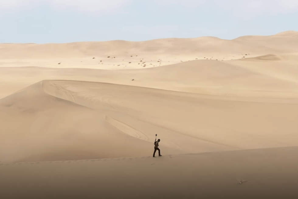
Kanhema has now taken it upon himself to spearhead that representation. In partnership with Google and Insta360, he’s traveled over 2,000 miles and recorded footage of Zimbabwe for Google Maps. To get this footage, he has walked, biked, ridden ATVs, driven in cars, sailed on boats, and even flown in helicopters.

It’s important to note that capturing footage for Google Maps isn’t just about giving people a chance to show off their childhood homes. It also helps to boost tourism and bring more economic opportunities to struggling areas.
Throughout his travels, Kanhema has captured many different scenic views in Zimbabwe and has continued into Namibia. For example, he’s filmed the stunning Victoria Falls, one of the largest waterfalls in the world, and a shipwreck located along the Namibian coast.
Kanhema has done great work so far, but he isn’t finished. In an interview with Good Morning America, he explained that maps are “never final” because people always add “more context, more perspectives” and “more voices” to the representation of different places.
Zimbabwe wasn’t on Google Street View until this man volunteered to map it himself.@KanhemaPhotohttps://t.co/530ciLC4mL pic.twitter.com/qqGnZNvcXS
— Good Morning America (@GMA) May 12, 2021
Those who want to follow Kanhema and support his work can do so through his Instagram account and website.